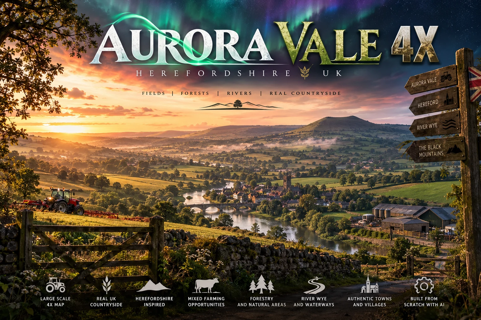
TW Farms / Original map project
Aurora Vale 4x
A Herefordshire-inspired 4x Farming Simulator countryside project built from scratch with real terrain, authored farms, villages, waterways and AI-assisted development tooling.
Project brief
Built at TW Farms.
A Herefordshire-inspired 4x Farming Simulator countryside project built from scratch with real terrain, authored farms, villages, waterways and AI-assisted development tooling.
- Map size
- 4,096 × 4,096 m / 4x
- Region
- Herefordshire-inspired, UK
- Current build
- Development 0.3.0.0
- Terrain source
- EA 2022 DTM
- Road source
- OS Open Roads, April 2026
- Status
- Active development / acceptance open
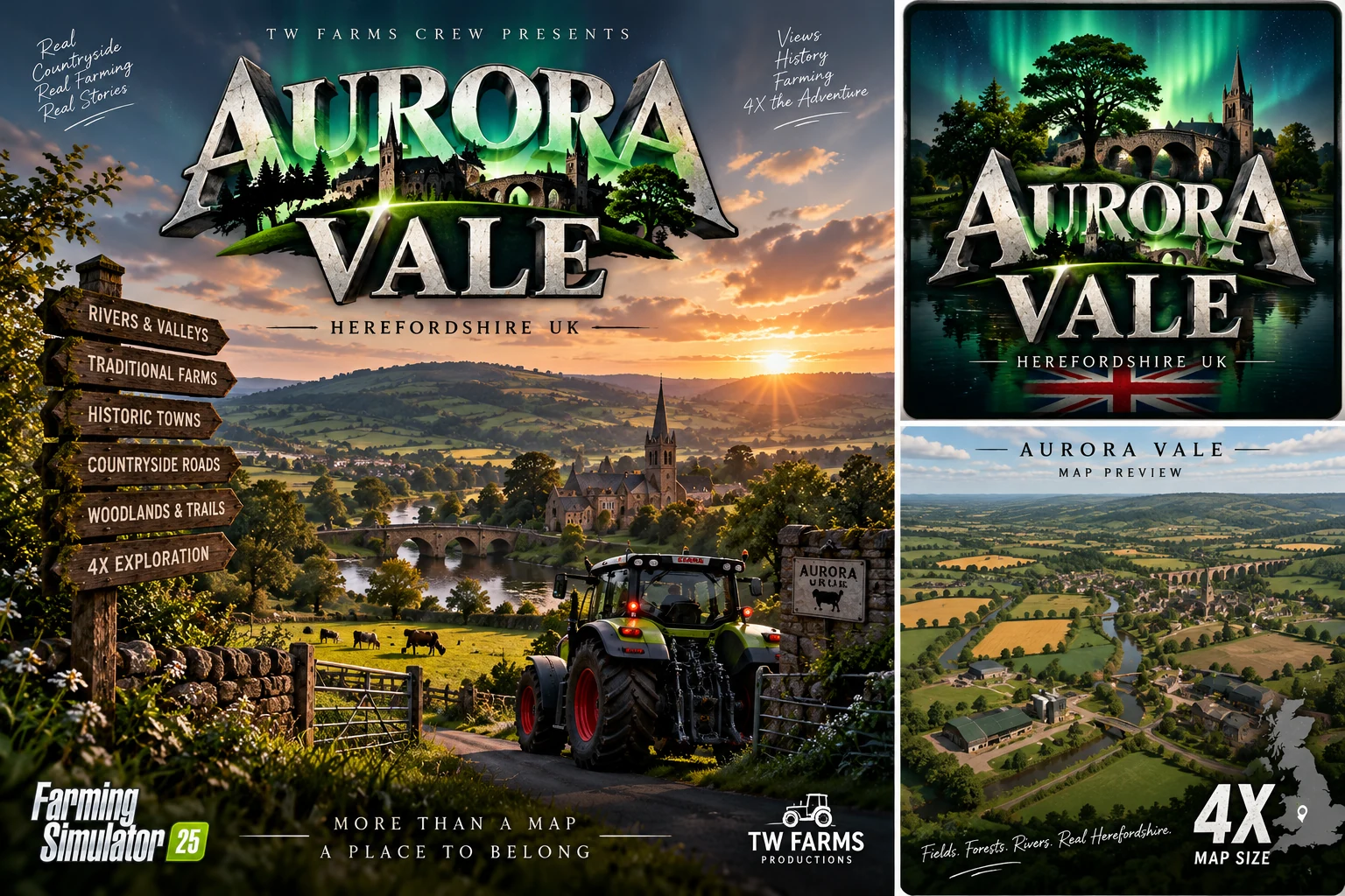
Project visuals
See the world taking shape.
01
What Aurora Vale is
Aurora Vale is TW Farms’ original 4x UK countryside map project, centred on a Herefordshire-inspired landscape of fields, hedged lanes, farms, villages, woodland and river crossings. It is being built as a complete playable place rather than a flat collection of fields.
The project began as an authored countryside layout and then moved onto recorded real-world elevation and road data. That change matters: each major terrain or route revision invalidates old physical assumptions, so the build is repeatedly rechecked rather than treated as finished because it once loaded.
02
Real terrain, roads and water
The current geographic revision uses Environment Agency 2022 LIDAR Composite DTM data and licensed OS Open Roads geometry. The playable area remains 4,096 metres square, with a 2,049 × 2,049 terrain height sample grid at 2 metre spacing.
The revised layout records 155 fields, 174 farmlands, 201 routes and three river crossings. Earthworks, connected water, bridge clearances and local site pads are being treated as engineering problems rather than scenery decoration.
- Recorded revised terrain elevation: approximately 80.392–134.091 m.
- Three river crossings with authored minimum water clearance of 2.8 m.
- Traffic uses opposing left-hand lanes on the A44-style primary route.
03
Playable systems and evidence
Earlier playable revisions established real runtime behaviour including husbandry loading, native harvest, trailer transfer, loaded bridge crossings and a physical grain sale. Those results are retained as evidence for the builds that produced them, not silently carried forward as proof of later terrain revisions.
The current branch has also exposed and corrected pipeline failures around placement grids, stale Precision Farming soil compilation, native traffic limits, large connected-water collision cooking and service-building visibility.
- Historical harvest proof: owned barley field harvested to an 8,000 litre combine bin.
- Historical transport proof: 8,000 litres transferred to trailer and driven across six public bridges.
- Historical sales proof: 8,000 litres physically delivered and sold at Grain Exchange.
- Current soil pipeline check: 1,048,576 source/decoded pixels matched after stale-data correction.
04
What remains before release
Aurora Vale is not being presented as release-ready. The latest service-building changes altered the final scene, so static/package checks, service interactions and PDA marker checks must be repeated on that exact build.
Physical acceptance of the revised crossings, current sell-point workflow, wider ground-level review and final gameplay passes remain part of the release gate. The point of the project page is to show what is genuinely built, what has actually been tested and what is still open.
Continue